
Route guide · NV
US 50 Nevada audio tour
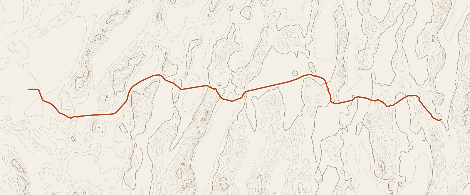
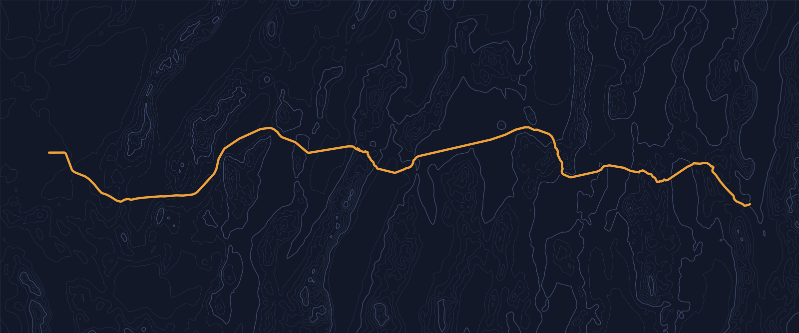
US 50 crosses Nevada for about 409 miles, and Life magazine gave it the name “The Loneliest Road in America” in July 1986. Between Ely and Fallon it passes Eureka and Austin, two mining towns founded on silver, plus a Pony Express station ruin. Yonder’s Guide mode tells the stories of the places along it, drawn from Wikipedia, and Ask answers questions about the empty country between them.
Facts checked
The road at a glance
- Runs
- Ely to Fallon
- Length in Nevada
- About 409 miles
- High point
- Connors Pass, 7,729 feet
- Name
- “The Loneliest Road in America,” from Life magazine, July 1986
Stories along the way
Yonder narrated these places on a simulated drive along US 50 across Nevada, run through the same engine the app uses. Scroll to follow the car; each card names its source.
Story 1
United States Post Office (Ely, Nevada)
The United States Post Office (Ely, Nevada) carries an unusual story of federal and state jurisdiction. An appropriation for post offices in Ely, Elko, Las Vegas, and Reno passed in June 1932, but construction here was delayed. From July 1933 to April 1937, Nevada and the federal government disputed ownership of the land, and federal officials refused to build until they had complete jurisdiction. The post office finally opened on January 29, 1938. It closed in 2002, then reopened in 2005 as a convention center for the nearby Hotel Nevada and Gambling Hall.
Source: WikipediaStory 2
Eureka, Nevada
The Eureka Opera House in Eureka, Nevada, was built in 1880 and restored in 1993. Raine’s Market and Wildlife Museum was built in 1887, and the Jackson House Hotel in 1877. The Eureka Sentinel Museum is housed in the 1879 Eureka Sentinel Newspaper Building. Eureka, Nevada, is a census-designated place and the county seat of Eureka County, Nevada, United States. Its population was 414 in the 2020 United States census, making it the second-largest community in Eureka County.
Source: WikipediaStory 3
Stokes Castle
Hand-hewn granite gives Stokes Castle its engineering story. Built by mine developer, railroad magnate, and banker Anson Phelps Stokes, the three-story tower near Austin, Nevada, used native stone hoisted into place with a hand winch. Rock wedging and clay mortar held those stones together. The design came from farther away: Stokes patterned the castle after a tower he had admired in Italy’s Roman Campagna. Yet its interior was arranged for practical use. The first floor held the kitchen and dining room, the second the living room, and the third two bedrooms. Each floor had a fireplace, with balconies on the second and third.
Source: WikipediaStory 4
Gridley Store
Reuel Colt Gridley reportedly lost a bet and had to carry a 50-pound sack of flour throughout town. The flour was sold as a benefit to raise money for the U.S. Sanitary Commission, which aided wounded Union soldiers. That single sack was sold and resold, first in Austin, then more broadly in Nevada, and later in the East, in a campaign supported by Mark Twain. Gridley Store, at 247 Water St. in Austin’s Upper Austin area, is also known as Gridley & Hobart Store and Gridley Store Museum.
Source: WikipediaStory 5
Cold Springs Pony Express Station Ruins
In May 1860, the keeper at Cold Springs Pony Express Station Ruins was killed, the station burned, and its stock driven off. Robert Haslam was the rider who discovered the body during what is credited as the longest round trip ride of the Pony Express. Cold Springs Pony Express Station Ruins, in Churchill County, Nevada, near Frenchman, were part of a Pony Express station built in 1860 or 1861. On October 15, 1860, Richard Burton visited and saw a partially built station house without a roof.
Source: WikipediaStory 6
Frenchman, Nevada
Frenchman, Nevada, was a community along U.S. Route 50, 30 miles east-southeast of Fallon. Its story reaches back to 1904, when it was founded as a stagecoach stop. The place was also known as Frenchman’s Station, Bermond, and Bermond Station. Then, in 1985, the U.S. Navy bought out the community because of its proximity to the Dixie Valley bombing range. Two years later, the remaining buildings were demolished. A roadside stop that began with stagecoach travel ended in a change shaped by military land use.
Source: Wikipedia
Before you go
Towns are far apart. Between Ely and Fallon the only towns of any size are Eureka and Austin, and Austin sits about 110 miles east of Fallon. Fill the tank in Ely and again in Eureka or Austin.
Check Nevada 511, run by the Nevada Department of Transportation, for road conditions before you leave. Summits on this route top 7,000 feet, so snow can matter outside summer.
Yonder or a curated tour?
Curated audio tours of the Loneliest Road, where they exist, use a scripted narrator and spend their time on the best-known towns and the Pony Express story. Yonder covers the long empty miles too, picks up small places such as Frenchman and Gridley Store, and answers questions in Ask. Its stories come from public sources such as Wikipedia, so they carry facts and dates, with little atmosphere.
How curated tours and Yonder differQuestions about this drive
How often will Yonder talk on a road this empty?
Less often than in a city. In two simulated drives from Ely to Fallon at 65 mph, Guide narrated three and seven places. Stories cluster around Ely, Eureka, Austin and the Pony Express ruins, and the miles between stay quiet.
Do I need to drive the whole road to use this guide?
No. Start a Journey wherever you join US 50, and Guide narrates what is near from there.
Can I ask Yonder about a ruin or a summit I pass?
Yes. Ask Mode answers questions such as “What was that station?” using your location and nearby public data.