


Route guide · CA
Big Sur Highway 1 audio tour
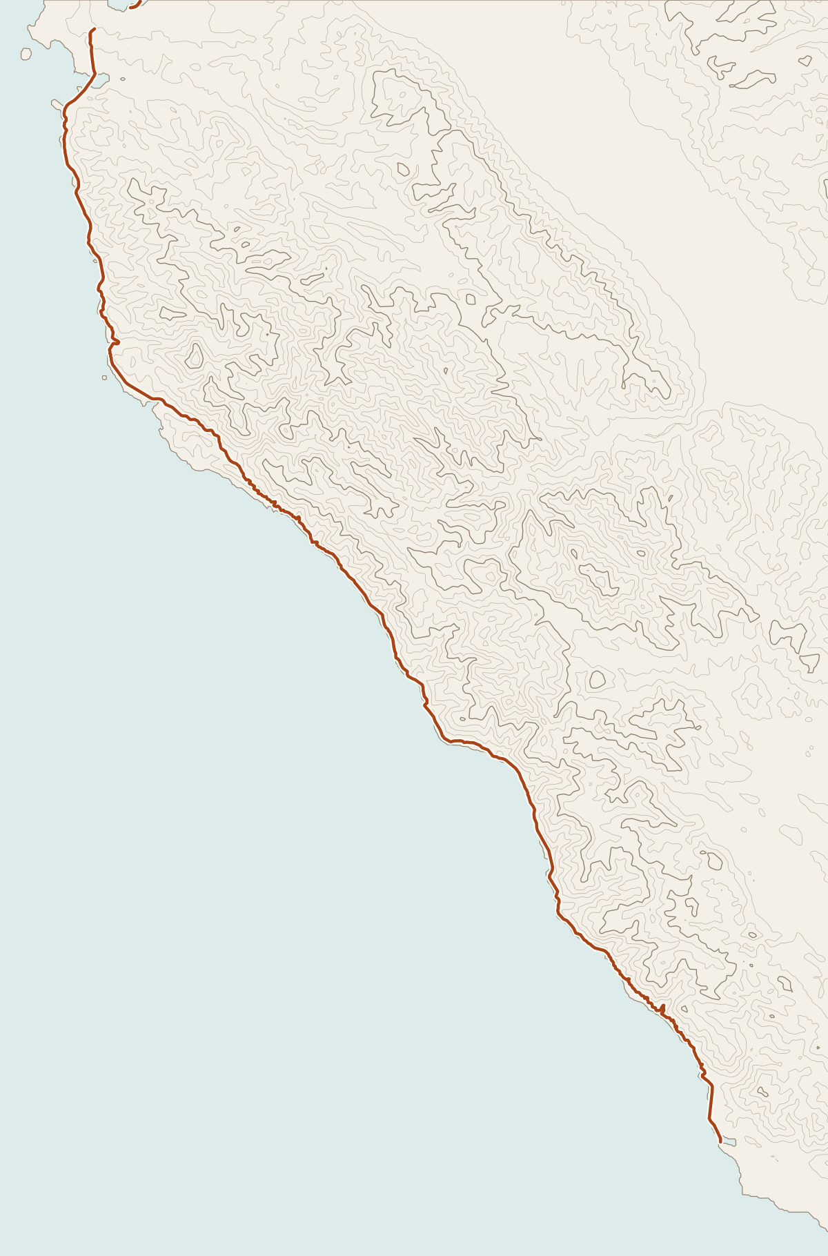
Highway 1 along the Big Sur coast opened on June 17, 1937, after 18 years of construction, and ties Carmel to San Simeon along California’s central coast. The Big Sur stretch runs about 72 miles and carries the All-American Road designation. Yonder’s Guide mode tells the stories of the bridges, lighthouses, inns and Cold War sites you pass, drawn from Wikipedia, and Ask answers questions at any pullout.
Facts checked
The road at a glance
- Runs
- Carmel to San Simeon
- Big Sur coast
- About 72 miles, Malpaso Creek to San Carpóforo Creek
- Opened
- June 17, 1937
- Designation
- All-American Road; California’s first State Scenic Highway (1965)
Stories along the way
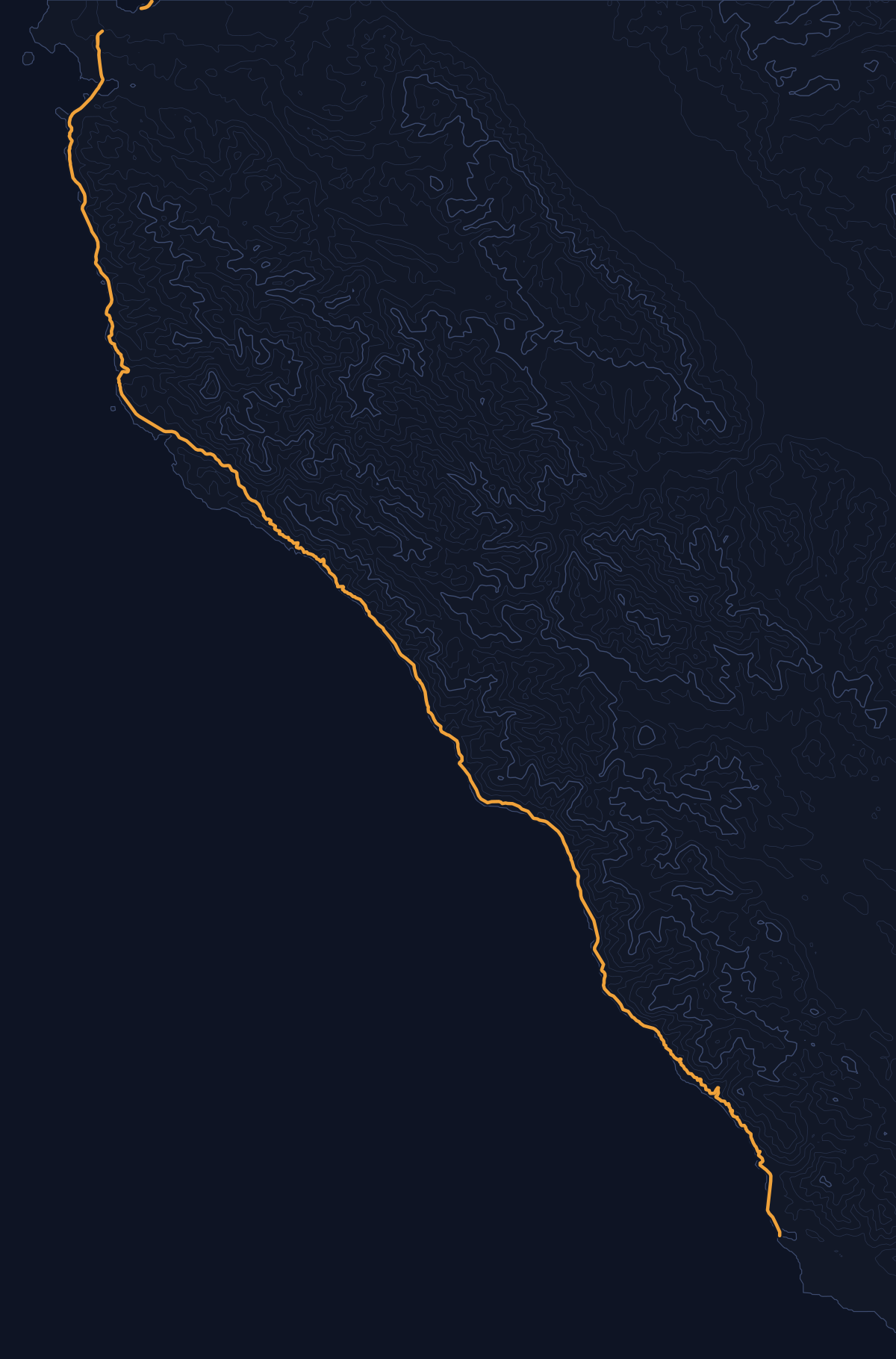
Yonder narrated these places on a simulated drive along Highway 1 (CA 1), run through the same engine the app uses. Scroll to follow the car; each card names its source.
Story 1
Rocky Creek Bridge (California)
Rocky Creek Bridge is 497.0 feet long, with a 239-foot main arch. It is a reinforced-concrete, open-spandrel bridge on the Big Sur coast of California, built with a fixed, parabolic arch. Its design also includes a decorative cantilevered walkway and reinforced-concrete railings in an arched-window pattern. Rocky Creek Bridge is on State Route 1 in Monterey County, about 12 miles south of Carmel and about a mile north of Bixby Creek Bridge.
Source: WikipediaStory 2
Naval Facility Point Sur
One of the Big Sur coast’s most secret Cold War sites was Naval Facility Point Sur. In 1958, the U.S. Navy built the facility ½ mile south of Point Sur to provide submarine surveillance using the classified SOund SUrveillance System, or SOSUS. It was one of 30 secret sites worldwide built to detect Soviet submarines. The public, however, was told the station was engaged in oceanographic research.
Source: WikipediaStory 3
Nepenthe (restaurant)
Nepenthe is a restaurant in Big Sur, California, built by Bill and Madelaine “Lolly” Fassett and first opened in 1949. It was built around a cabin first constructed in 1925. Nepenthe is known for the miles-long panoramic view of Big Sur’s south coast from its outdoor terrace. Its menu features California and Greek Mediterranean food made with locally and California-grown ingredients.
Source: WikipediaStory 4
Deetjen's Big Sur Inn
After Highway 1 opened in 1937, Deetjen’s Big Sur Inn was one of the first visitor accommodations in Big Sur to offer California visitors and travelers overnight lodging and meals. Helmuth Deetjen had initially built cottages for others in Carmel and was attracted to the Big Sur coast, which reminded him of Norway. Deetjen’s Big Sur Inn is a collection of single-wall buildings, cabins, and a restaurant in Castro Canyon along Highway 1. The original property expanded over the years into several Norwegian-style cottages made with locally milled redwood, with each room given a distinct personality and a name.
Source: WikipediaStory 5
Big Creek Bridge (California)
Two main spans of Big Creek Bridge (California) are open spandrel arches, each 178 feet long. Its 116-foot-long side arches are cantilevered to the canyon walls. The bridge is a 589-foot-long concrete deck arch bridge on State Route 1 near Lucia, along the southern portion of the Big Sur coast. Constructed during the Great Depression, Big Creek Bridge opened for traffic in late 1938. Its 24-foot-wide deck carries two lanes of traffic 65 feet above the ground below.
Source: WikipediaStory 6
Piedras Blancas Light Station
On December 31, 1948, final damage from an earthquake centered 6 miles off the point led to the decision to remove the upper three floors of Piedras Blancas Light Station: the fourth landing, watch room, and lantern. The lighthouse was originally 100 feet high to the top of the ventilator ball, but earthquakes damaged the structure over the years. Its first-order Fresnel lens was first illuminated on February 15, 1875. In 1975, the light was automated, the sound signal removed, and the light station was unmanned.
Source: Wikipedia
Before you go
Landslides have closed this highway more than once. A 2011 slide shut it for months, the Pfeiffer Canyon Bridge failure in 2017 closed one section for about eight months, and the Mud Creek slide that year closed a 30-mile stretch. Check Caltrans QuickMap before you set out.
Plan food and supplies around Big Sur Village, which has the largest collection of shops and visitor services on the coast. South of it the coast is thin: Wikipedia describes Lucia as a hamlet 22 miles south of the village whose only active business is a lodge.
Yonder or a curated tour?
Curated audio tours of Highway 1 use a scripted narrator and go deep on the famous stops, such as Bixby Creek Bridge. Yonder covers every bridge, inn and point along the coast, including smaller ones, and Ask answers your own questions. Its stories come from public sources such as Wikipedia, so they read as well-sourced summaries and lack the polish of a produced script.
How curated tours and Yonder differQuestions about this drive
Which Big Sur places did Yonder narrate in your test drive?
In a simulated southbound drive at 40 mph, Guide told stories about Whalers Cabin, Rocky Creek Bridge, Point Sur Lighthouse, Naval Facility Point Sur, Big Sur Village, Nepenthe, the Henry Miller Memorial Library, Deetjen’s Big Sur Inn, Esalen, Big Creek Bridge, Lucia, Kirk Creek and Piedras Blancas. A real drive will vary.
Will Yonder tell me about Bixby Creek Bridge?
It didn’t come up in our two test drives. Guide told the story of Rocky Creek Bridge, about a mile north of Bixby, and of Big Creek Bridge near Lucia. When you reach Bixby, use Ask to get its story on the spot.
Does Yonder give directions or road closures on Highway 1?
No. Yonder narrates places and answers questions about them. For closures, check Caltrans QuickMap; for turn-by-turn directions, use your navigation app.