


Route guide · CA
Tioga Road audio tour
Tioga Road is the 45.5-mile stretch of California 120 that crosses Yosemite National Park from Crane Flat to the Tioga Pass entrance. Tioga Pass, at 9,945 feet, is the highest highway pass in California’s state highway system. In Guide mode Yonder narrates the peaks, ranger stations, mining ruins and other places you pass, drawing on Wikipedia, and Ask answers questions about whatever you see out the window.
Facts checked
The road at a glance
- Runs
- Crane Flat to the Tioga Pass entrance
- Length
- 45.5 miles
- High point
- 9,945 feet at Tioga Pass
- Season
- Usually late May or June until about November
Stories along the way
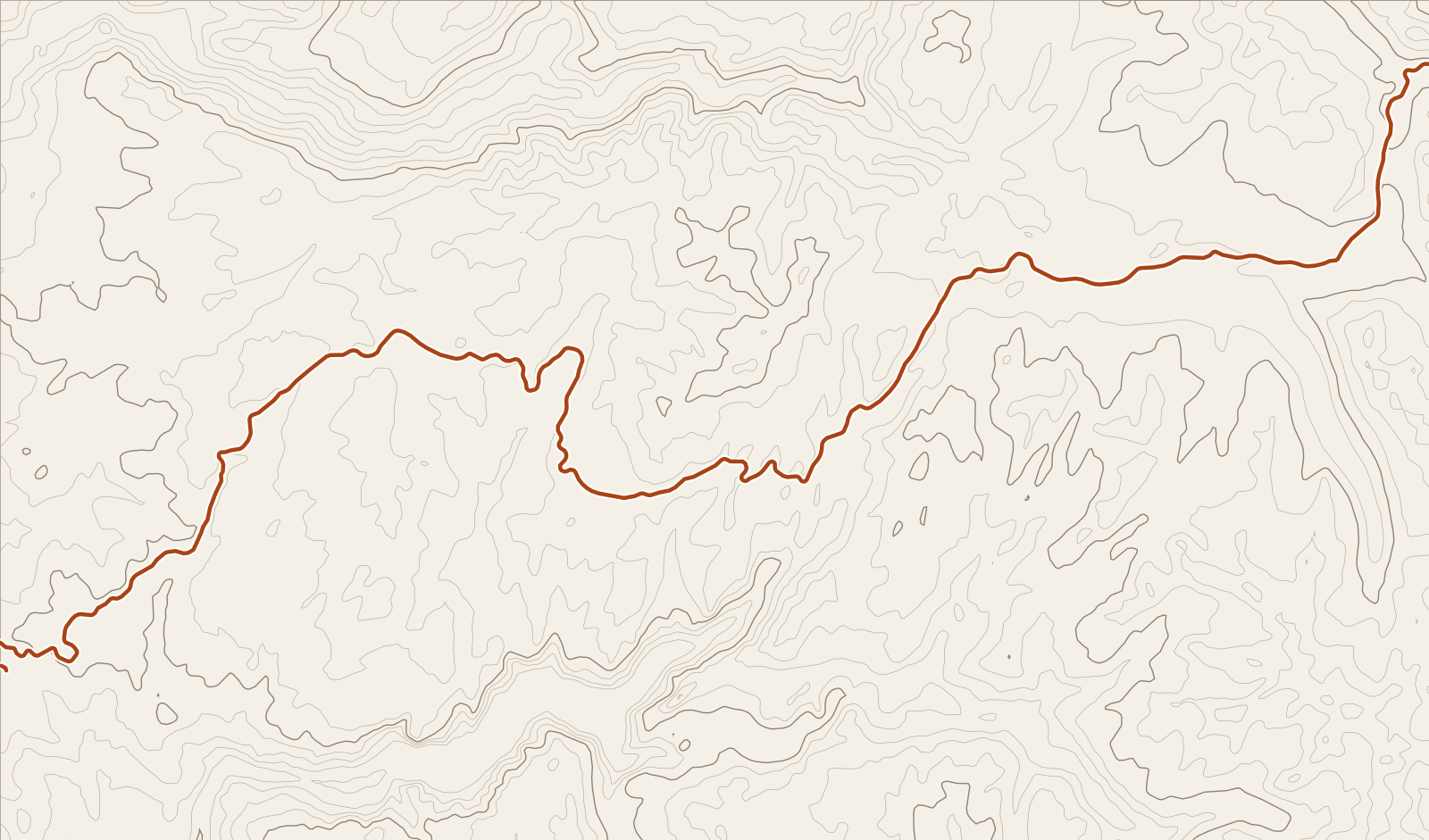
Yonder narrated these places on a simulated drive along Tioga Road (CA 120), run through the same engine the app uses. Scroll to follow the car; each card names its source.
Story 1
Yosemite National Park
Almost 95 percent of Yosemite National Park is designated wilderness.
Source: WikipediaStory 2
Tresidder Peak
Tresidder Peak has two summits, about half a mile (800 meters) apart, with the southern peak higher. The southern peak’s elevation has not been exactly determined, and is given as between 10,605 feet and 10,645 feet. The northern peak is identified on maps as Peak 10,450, with an elevation of 10,450 feet. Tresidder Peak is the line parent of Clouds Rest. It is named for Donald Tresidder, a former president of Stanford University who had a longtime association with Yosemite National Park. Tresidder Peak is a mountain in Yosemite National Park, California.
Source: WikipediaStory 3
Tuolumne Meadows Ranger Stations and Comfort Stations
The Tuolumne Meadows Ranger Stations and Comfort Stations include a ranger station built in 1924 using peeled-log construction. Its function was partly superseded in 1936 by a newer structure that used larger quantities of stonework. Later structures included a comfort station designed by the National Park Service Branch of Plans and Designs and built by Civilian Conservation Corps labor. Other structures, including bunkhouses and mess halls, were built in the Tuolumne Meadows Historic District at the same time to similar design standards.
Source: WikipediaStory 4
Tioga Pass
Tioga Pass is California’s highest-elevation highway pass and the highest in the Sierra Nevada, at 9,945 ft. State Route 120 runs through Tioga Pass and serves as the eastern entry point for Yosemite National Park, at the Tioga Pass Entrance Station. The pass has a gradual approach from the west, while the road drops dramatically to the east, losing more than 3,000 ft by the time it reaches U.S. Route 395. Mount Dana is east of the pass, and Gaylor Peak is west. High snowfall subjects Tioga Pass to winter closure, normally from around the end of October until the end of May the following year, though those dates vary considerably.
Source: WikipediaStory 5
Great Sierra Mine Historic Site
The Great Sierra Mine Historic Site, also known as Dana Village, preserves the site of the largest mining operation in what would later become Yosemite National Park. The Sheepherder Lode was discovered in 1860 and rediscovered by shepherd Thomas Brusky Jr., who staked several claims. In 1881, the Great Sierra Consolidated Silver Mining Company bought all the claims and established the company town of Dana. Due to the c. 11,000 feet altitude, the town was soon relocated to the bottom of the hill at Bennettville. After an adit was driven 1784 feet into the side of the hill at an expenditure of $300,000, operations were closed down in 1884.
Source: Wikipedia
Before you go
Tioga Road closes for winter, and the opening date follows the snowpack. Check the National Park Service’s Tioga and Glacier Point Roads page or call the park’s road line before you leave, and look at Caltrans QuickMap for the highway outside the park.
Fill the tank before you enter. The park says gas is no longer sold at Tuolumne Meadows, and the NPS road page notes there is no drinking water along the road.
Start your Journey at Crane Flat and leave Guide on. The forested western half has few places with a supported story, so Guide goes quiet there and picks up again near the peaks and meadows.
Yonder or a curated tour?
Curated audio tours of Tioga Road use a scripted narrator and spend their time on the famous stops, with more depth at a single lookout than Yonder offers. Yonder covers the whole road, including places like the Dana Village mine site that few tours mention, and Ask answers questions as they come up. Its stories come from public sources such as Wikipedia, so they stick to documented facts.
How curated tours and Yonder differQuestions about this drive
Which places does Yonder talk about on Tioga Road?
In two simulated drives of the road at 40 mph, Guide narrated Yosemite’s wilderness acreage, Tresidder Peak, the Tuolumne Meadows ranger stations, the Great Sierra Mine site near Tioga Pass and Tioga Pass itself. A real drive will differ, because Guide picks stories from nearby places and your interests, and it skips what you’ve already heard.
Why does Guide go quiet for long stretches?
Guide speaks when it has a supported story about a place close to the road. In both simulated drives it stayed silent through much of the forest between Crane Flat and the high meadows, then spoke five to seven times before Tioga Pass.
Can I ask Yonder about a peak I can see?
Yes. Ask Mode answers questions such as “What’s that mountain?” using your location and nearby public data. Use Ask for anything Guide hasn’t covered.