


Route guide · CA
Skyline Boulevard audio tour
Skyline Boulevard is the ridgetop stretch of California 35 that follows the crest of the Santa Cruz Mountains above Silicon Valley. Between Highway 92 and Saratoga Gap it passes redwood forest, a century-old restaurant, a scenic lookout and old logging country. Yonder’s Guide mode tells the stories of the places beside the road, drawn from Wikipedia, and Ask answers questions about the ridge, the towns below and whatever else you see.
Facts checked
The road at a glance
- Runs
- Highway 92 to Saratoga Gap (CA 9)
- Route
- CA 35, about 54 miles end to end
- High point
- About 3,000 feet, near Sanborn Skyline County Park
- Scenic designation
- County line to Highway 92 is an official State Scenic Highway
Stories along the way
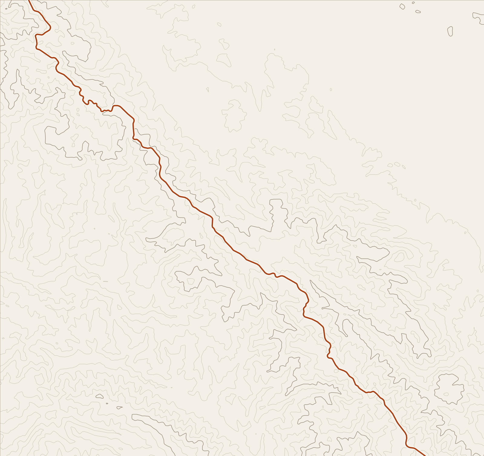
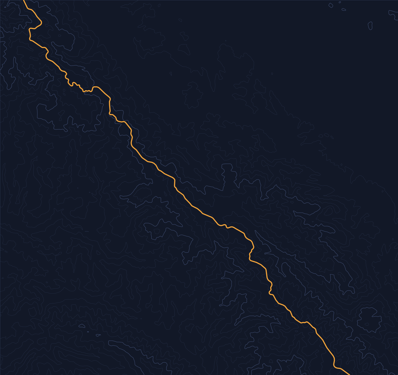
Yonder narrated these places on a simulated drive along Skyline Boulevard (CA 35), run through the same engine the app uses. Scroll to follow the car; each card names its source.
Story 1
The Mountain House
The Mountain House initially functioned as a water pump station for homesteaders, then transformed into a frontier saloon. Since the early 1900s, it has served as a gathering place for adventurers, loggers, and locals. The Mountain House, housed in a vermilion cabin on Skyline Boulevard within the redwood forests of Woodside, is a century-old dining destination. Its location inside the redwood forest has also featured in numerous music video clips by prominent artists.
Source: WikipediaStory 2
Kings Mountain, California
By the late nineteenth century, Kings Mountain, California, was shaped by an extensive timber and saw-milling industry that felled thousands of acres of virgin redwoods. Until the 1950s, most inhabitants were summer residents, including people connected with Henrik Ibsen Park, a private 40-acre recreational facility for Sons of Norway members from San Francisco. That pattern changed after Interstate 280 was built in the 1960s and ’70s. With San Francisco only a 40-minute commute and Silicon Valley’s economy booming, Kings Mountain became a full-time residential community, with million-dollar homes outnumbering rustic cabins.
Source: WikipediaStory 3
Skeggs Point (California)
Neil Young describes writing “Like a Hurricane” at Skeggs Point Scenic Lookout in the back of a 1950 DeSoto Suburban. Skeggs Point is about three miles west and 2,000 feet above the town of Woodside. The geographic feature was named for Colonel John Hunt Skeggs, a World War I veteran who served as a Caltrans District 4 engineer from roughly 1919 until his retirement in 1952. Skeggs was a high-profile factor in early Caltrans District 4 work building US 101, SR 35, SR 152 through Pacheco Pass, the Waldo Tunnel, the Altamont Pass, and a pre-1952 El Camino Real widening project.
Source: WikipediaStory 4
Folger Estate Stable Historic District
The stone wall at Folger Estate Stable Historic District was built by Chinese laborers. In 1872, Simon Jones and his son, Everett, acquired the property, then called “Jones Ranch,” after more than twenty-six years of logging had left it mostly treeless. In 1956, the stable and adjoining 940+ acres of land were sold to Martin Wunderlich, who later donated it to the county for a public park. Folger Estate Stable Historic District was listed on the National Register of Historic Places on April 16, 2004.
Source: WikipediaStory 5
Portola Valley, California
Andrew S. Hallidie built a 7,341 foot long aerial tramway from his country home of Eagle Home Farm in what is now Portola Valley, California, to the top of Skyline in 1894. Hallidie was a wire rope manufacturer, and the tramway was removed after his death in 1900. By the 1880s, Hallidie had built Eagle Home Farm in what is now Portola Valley. In 1886, the name Portola-Crespi Valley was bestowed on the area from the then community of Crystal Springs to the then community of Searsville.
Source: Wikipedia
Before you go
Skyline Boulevard follows the ridge between Santa Clara and Santa Cruz counties, and the county line is irregular enough that the road crosses it more than once. Check Caltrans QuickMap for closures and construction before you go.
The road passes several parks and preserves, among them Skyline Ridge Open Space Preserve and, near its highest point, Sanborn Skyline County Park. Guide narrates while you drive, so you can save longer stops for the places it names.
Yonder or a curated tour?
A curated audio tour uses a scripted narrator and goes deep on a few famous stops. Yonder covers the whole ridge from Woodside to Saratoga Gap and answers questions in Ask. Its stories come from public sources such as Wikipedia, so they favor documented history over local lore.
How curated tours and Yonder differQuestions about this drive
What does Yonder narrate on Skyline Boulevard?
In two simulated drives at 35 and 40 mph, Guide told stories about The Mountain House, Kings Mountain, Skeggs Point, the Folger Estate stable, Portola Valley and San Mateo County. Your Journey will draw on whatever is nearby and unheard.
Can I ask about the lookouts and towns along the ridge?
Yes. Ask Mode answers questions such as “What’s that lookout?” using your location and nearby public data.
Where does the Skyline Boulevard route start and end here?
This guide covers CA 35 from the Highway 92 junction to the Highway 9 junction at Saratoga Gap. CA 35 continues beyond both ends.