


Route guide · CA
Highway 49 Gold Country audio tour
California 49, the Golden Chain Highway, links the Gold Rush towns of the Sierra foothills, and the Sonora to Auburn stretch has been called the Mother Lode Highway since 1921. It runs through Angels Camp, San Andreas, Sutter Creek, Placerville and Coloma, where James Marshall found gold in 1848. Yonder’s Guide mode tells the stories of the hotels, mines, courthouses and mining camps along it, drawn from Wikipedia, and Ask answers questions about whatever you pass.
Facts checked
The road at a glance
- Runs
- Sonora to Auburn
- Whole highway
- About 295 miles
- Names
- Golden Chain Highway; Mother Lode Highway (Sonora to Auburn, named 1921)
- Gold discovery
- Coloma, 1848, at Sutter’s Mill
Stories along the way
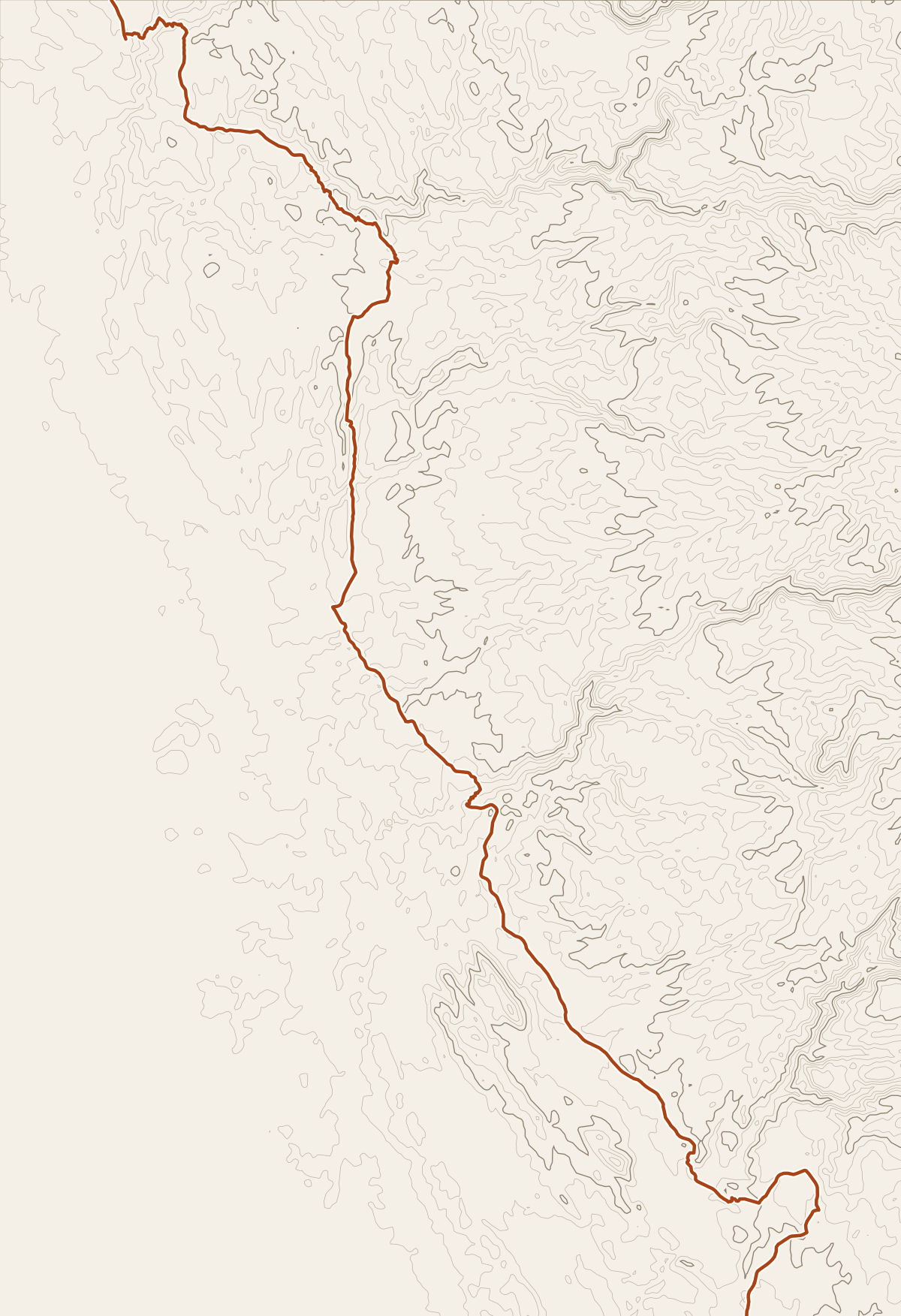
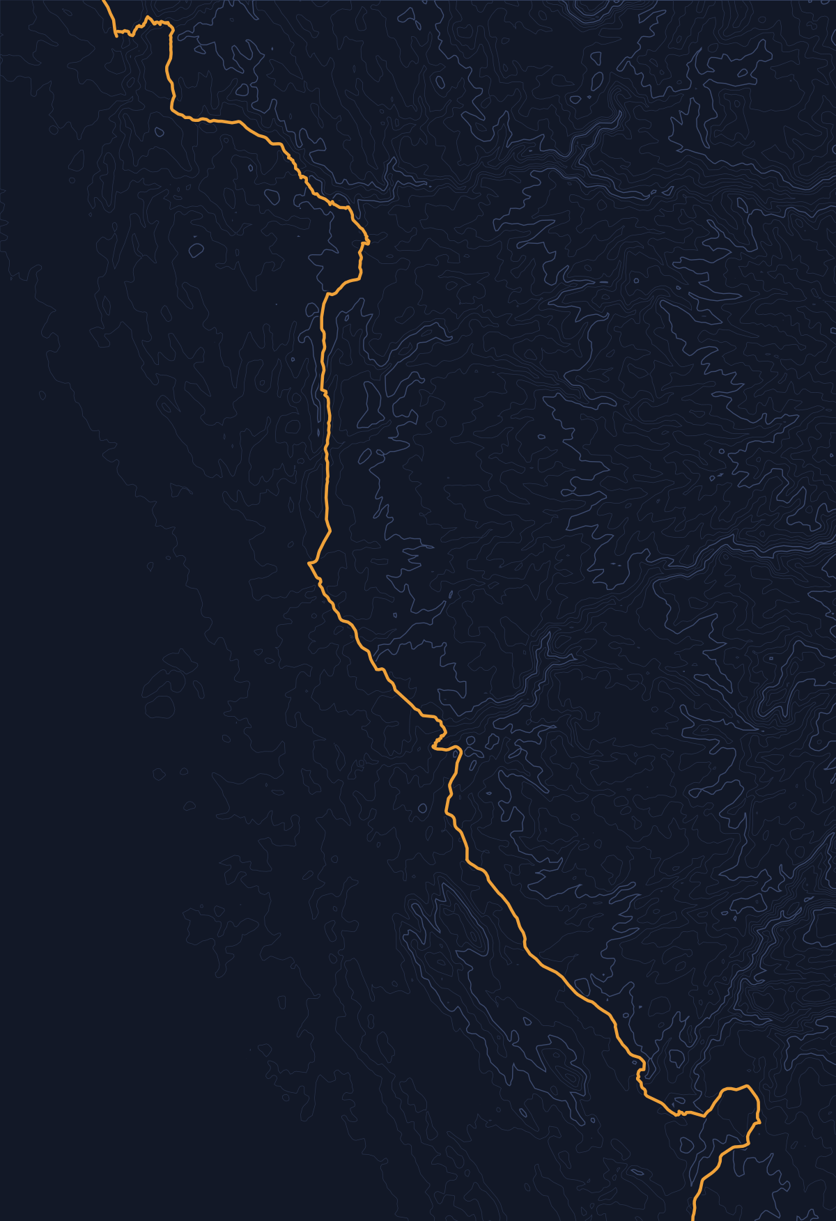
Yonder narrated these places on a simulated drive along Highway 49 (Mother Lode Highway), run through the same engine the app uses. Scroll to follow the car; each card names its source.
Story 1
Archie Stevenot Bridge
Archie Stevenot Bridge carries State Route 49 over New Melones Lake on the Stanislaus River between Calaveras and Tuolumne Counties in California. It was completed in 1976. The crossing is named for Archie Stevenot, who helped found the California Chamber of Commerce. Melones, Spanish for “Melons,” was a former settlement in Calaveras County. That settlement is now submerged beneath a reservoir named New Melones Lake.
Source: WikipediaStory 2
Angels Hotel
Mark Twain heard a story at Angels Hotel that he later turned into “The Celebrated Jumping Frog of Calaveras County.” In front of the building is the “Frog Hop of Fame,” with commemorative plaques embedded in the sidewalk for winners of the annual Jumping Frog Jubilee frog-jumping contest. The building is no longer operated as a hotel. Angels Hotel is registered as California Historical Landmark #734. It was also listed on the National Register of Historic Places in 1972.
Source: WikipediaStory 3
Mokelumne Hill, California
Founded in 1848 by a group of Oregonians, Mokelumne Hill, California, had placer deposits so rich that miners risked starvation rather than go to Stockton for supplies. One miner finally made the trip and became rich as a merchant. Soon after, gold was discovered in the nearby hills, and miners were restricted to claims of 16 square feet. Many of those claims were reported to have paid up to $20,000. By 1850, Mokelumne Hill was one of the largest in the area. Its population was 691 at the 2020 census, up from 646 at the 2010 census.
Source: WikipediaStory 4
Argonaut Mine
Argonaut Mine was the site of the worst gold-mining disaster in California’s history in 1922. On August 27, 1922, a fire trapped 47 miners 4,650 feet below ground, most of them immigrants from Italy, Spain, and Serbia. The gold deposit had been discovered in the 1850s by James Hager and William Tudor, both freed slaves. Argonaut Mine operated until 1942, reaching a vertical depth of 5,570 feet through a 63-degree shaft and producing more than $25 million in gold.
Source: WikipediaStory 5
Drytown, California
Drytown, California, was once a gold-mining hotspot with a population of 10,000 people. It is the oldest community in Amador County, and the first in which gold was discovered. The community was saved by the construction of State Route 49, which went through it in 1920. Drytown is registered as a California Historical Landmark.
Source: WikipediaStory 6
Sutter's Mill
James W. Marshall found gold at Sutter’s Mill in 1848 while working on its construction. That discovery set off the California gold rush of 1848–1855, a major event in United States history. The mill was later reconstructed in its original design. Today, Sutter’s Mill forms part of Marshall Gold Discovery State Historic Park in Coloma, California.
Source: Wikipedia
Before you go
The highway runs through the main streets of its towns, among them Sonora, Angels Camp, San Andreas, Sutter Creek, Placerville and Auburn. Allow extra time in each, and check Caltrans QuickMap for construction before you leave.
Sutter’s Mill sits in Marshall Gold Discovery State Historic Park in Coloma, reached from the highway by the CA 153 spur. Sutter’s Mill came up in our test drive as the route neared Coloma.
Yonder or a curated tour?
Curated audio tours of Gold Country use a scripted narrator and spend their time on the best-known sites, such as Coloma, with more depth than Yonder offers. Yonder covers every mining camp and courthouse the highway passes, including small ones like Fourth Crossing and Drytown, and Ask answers your own questions. Its stories come from public sources such as Wikipedia, so they stick to documented facts.
How curated tours and Yonder differQuestions about this drive
Which places does Yonder tell about on Highway 49?
In three simulated drives at 45 mph, Guide told stories about Sonora, Railtown 1897, the Archie Stevenot Bridge, Carson Hill, Angels Hotel, Mokelumne Hill, the Argonaut Mine, Drytown, the Plymouth Trading Post, Placerville and Sutter’s Mill. A real Journey will vary.
Does Guide cover every town?
No. Towns here sit close together, so Guide spaces its stories out and picks the one with the strongest supported detail. Use Ask when you want the story of a town or building Guide skipped.
Does Yonder cover the rest of Highway 49 beyond Auburn?
This guide covers Sonora to Auburn. Highway 49 continues in both directions, and a Journey works anywhere along it.