


Route guide · CA
US 395 Eastern Sierra audio tour
US 395 runs the length of California’s Eastern Sierra, from Lone Pine in the Owens Valley to Lee Vining beside Mono Lake. Between them it passes Manzanar, Big Pine, Bishop and the Long Valley Caldera, with the Sierra crest above 14,000 feet to the west. Yonder’s Guide mode tells the stories of the places along the highway, drawn from Wikipedia, and Ask answers questions about the peaks and valleys you see.
Facts checked
The road at a glance
- Runs
- Lone Pine to Lee Vining
- Highway
- US 395, about 557 miles in California
- Owens Valley
- 75 miles long; peaks to the west rise above 14,000 feet
- Scenic designation
- Fort Independence to Fort Springs Road is an official State Scenic Highway
Stories along the way
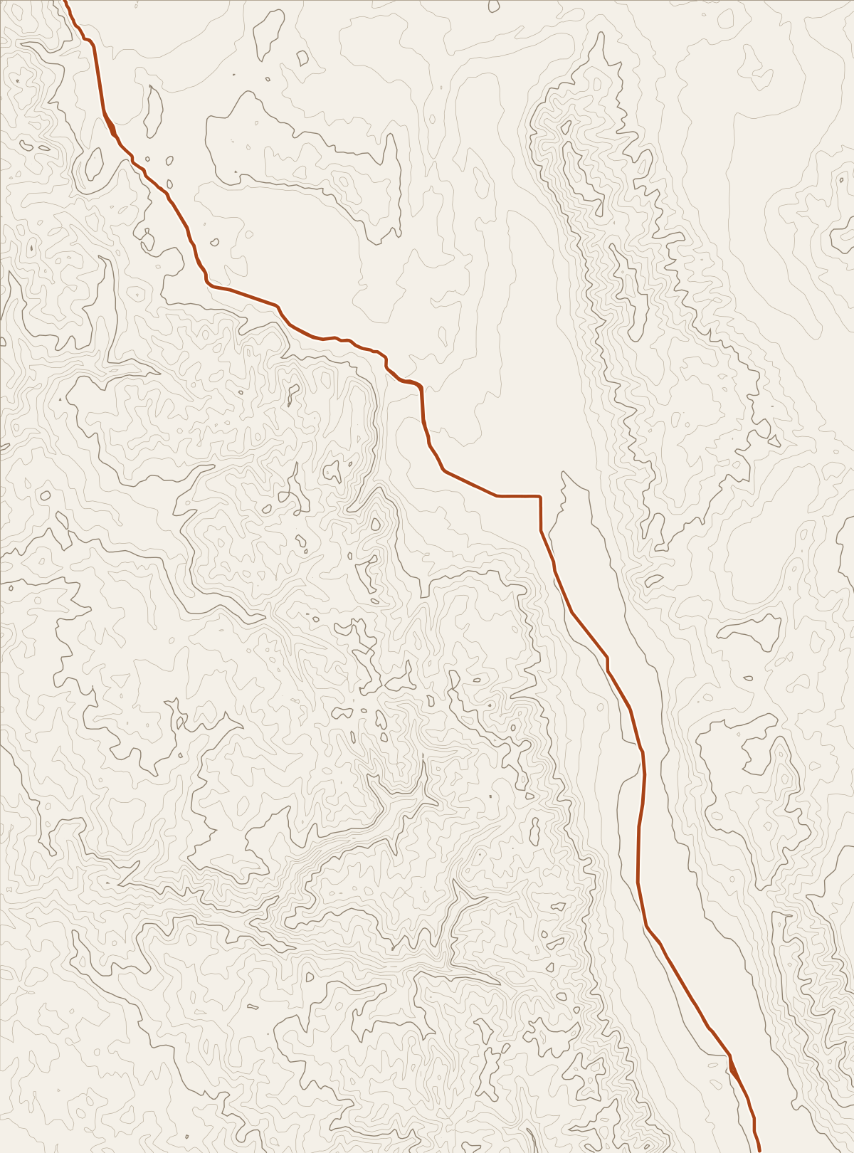
Yonder narrated these places on a simulated drive along US 395 (Lone Pine to Lee Vining), run through the same engine the app uses. Scroll to follow the car; each card names its source.
Story 1
Manzanar
Manzanar is in California’s Owens Valley, on the eastern side of the Sierra Nevada, between Lone Pine and Independence. Manzanar was one of ten American concentration camps where more than 120,000 Japanese Americans were incarcerated during World War II, from March 1942 to November 1945. More than 10,000 inmates were held here at its peak. Even with that population, Manzanar was one of the smaller internment camps.
Source: WikipediaStory 2
Owens Valley
The mountain peaks on Owens Valley’s west side, including Mount Whitney, reach above 14,000 feet, while the valley floor is at about 4,000 feet. That makes Owens Valley the deepest in the United States. Owens Valley is an arid valley of the Owens River in eastern California. It lies east of the Sierra Nevada and west of the White Mountains and Inyo Mountains. The valley is split between the Great Basin Desert and the Mojave Desert.
Source: WikipediaStory 3
Big Pine, California
Big Pine, California, is linked to a significant geologic feature: an earthquake scarp related to the 1872 Lone Pine earthquake. In 1958, the Owens Valley Radio Observatory was established just north of Big Pine. The Big Pine post office first opened in 1870, closed for a time during 1877, changed its name to Bigpine in 1895, and reverted to Big Pine in 1962. Big Pine had 1,875 residents in the 2020 census, up from 1,756 in 2010.
Source: WikipediaStory 4
Convict Lake
Convict Lake is known for turquoise-blue water, dramatic mountains including Mount Morrison, trout fishing, and an unusual history. Its traditional Mono name was Wit-sa-nap. American settlers renamed it after September 23, 1871, when convicts escaped from prison in Carson City, Nevada, and took refuge near the lake. A posse pursued them, and a shootout followed, leaving members of both the posse and the group of convicts killed or wounded. The surviving convicts initially escaped but were eventually captured and taken back to prison.
Source: WikipediaStory 5
Long Valley Caldera
Long Valley Caldera measures about 20 miles east-west, 11 miles north-south, and up to 3,000 feet deep, making it one of Earth’s largest calderas. Long Valley Caldera formed 760,000 years ago when a very large eruption released hot ash that later cooled into the Bishop tuff, common to the area. The Bishop tuff reaches 1,500 meters thick in the caldera floor. During the Pleistocene, the caldera filled with water and overtopped its rim, forming the Owens River Gorge through the tuff.
Source: WikipediaStory 6
Mammoth Mountain
It’s a lava dome complex in Mono County, California, occupying the southwestern corner of the Long Valley Caldera. About 12 overlapping rhyodacite and dacite domes make up the mountain. They formed through eruptions from 110,000 to 57,000 years ago, building a volcano that reaches 11,059 feet. And Mammoth Mountain is still active: its largest recorded event was a minor steam eruption 700 years ago.
Source: Wikipedia
Before you go
Several roads that branch off US 395 into the mountains close in winter. Wikipedia lists the Tioga Pass road (CA 120), CA 168 above Aspendell, CA 203 to Devils Postpile and CA 108 over Sonora Pass among the connections closed in winter. Check Caltrans QuickMap before you turn off.
This is a long drive. Start your Journey in Lone Pine and leave Guide on; the valley towns come first and the volcanic country around Mammoth comes later.
Yonder or a curated tour?
Curated audio tours of the Eastern Sierra use a scripted narrator and go deep on a few headline sites such as Manzanar or Mono Lake. Yonder covers the whole corridor, including Fort Independence and Convict Lake, and Ask answers your own questions. Its stories come from public sources such as Wikipedia, so they stick to documented facts.
How curated tours and Yonder differQuestions about this drive
Which places does Yonder tell about on US 395?
In three simulated drives at 60 mph, Guide told stories about Manzanar, Owens Valley, Fort Independence, the Eastern California Museum, Big Pine, Bishop, Toms Place, Convict Lake, Long Valley Caldera, Mammoth Mountain and Lee Vining. A real Journey will vary with your interests and what you’ve already heard.
Will I hear about Mount Whitney?
Whitney didn’t come up in our test drives. Lone Pine is the access point for Mount Whitney, so use Ask there to hear its story.
Why does Guide skip stretches of the drive?
Guide speaks when it has a supported story about a place near the road. On the open stretches of the valley it stays quiet.