

Route guide · MT
Going-to-the-Sun Road audio tour
Going-to-the-Sun Road is the only road that crosses Glacier National Park. It runs about 50 miles from West Glacier to St. Mary and crosses the Continental Divide at Logan Pass, 6,646 feet up. Construction ran from 1921 to 1932, and the road was dedicated in 1933. Yonder’s Guide mode tells the stories of the lodges, cabins, waterfalls and lakes beside it, drawn from Wikipedia, and Ask answers questions about what you see.
Facts checked
The road at a glance
- Runs
- West Glacier to St. Mary, Montana
- Length
- About 50 miles
- High point
- Logan Pass, 6,646 feet
- Built
- 1921 to 1932; dedicated July 15, 1933
Stories along the way
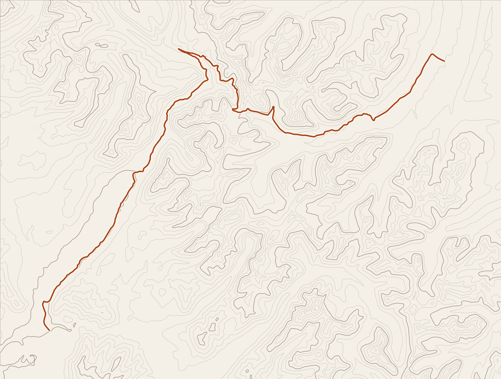
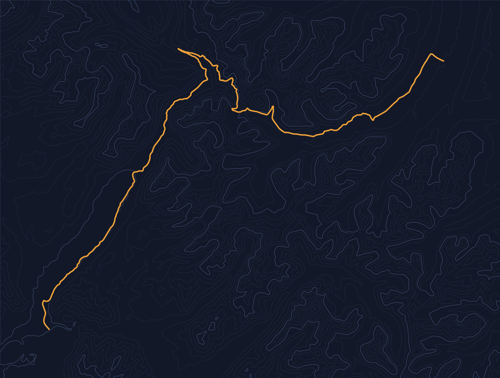
Yonder narrated these places on a simulated drive along Going-to-the-Sun Road, run through the same engine the app uses. Scroll to follow the car; each card names its source.
Story 1
West Entrance Station
West Entrance Station was designed at National Park Service architect Albert Good’s suggestion to specifically resemble a toll station. It is an example of the National Park Service Rustic style, designed by the National Park Service Branch of Plans and Design. West Entrance Station was built by the Civilian Conservation Corps in 1942. The station is a wood-frame building faced with random ashlar stone. It is similar to the station built at the park’s Saint Mary entrance at about the same time, using the same plans. West Entrance Station was placed on the National Register of Historic Places on April 4, 1966.
Source: WikipediaStory 2
Bull Head Lodge and Studio
Bull Head Lodge was built in 1905 or 1906 on land purchased from Dimon Apgar. Charles M. Russell used it as his summer home and hosted artist friends there to paint and sketch landscapes and scenery of the park. When Glacier National Park was formed in 1910, the property was a private inholding within it. Bull Head Lodge and Studio are two contributing log buildings at the southern end of Lake McDonald, off Going-to-the-Sun Road near Apgar. The site was listed on the National Register of Historic Places in 1984.
Source: WikipediaStory 3
Going-to-the-Sun Road
Going-to-the-Sun Road was one of the first National Park Service projects specifically intended to accommodate automobile-borne tourists. The entire project opened from end to end in 1933, at a cost of $2.5 million. Going-to-the-Sun Road is the only road that traverses Glacier National Park, crossing the Continental Divide through Logan Pass. At 6,646 feet, Logan Pass is the highest point on the road.
Source: WikipediaStory 4
Weeping Wall (Montana)
Weeping Wall is a geological formation along Going-to-the-Sun Road in Glacier National Park, Montana. It is a natural waterfall that seeps from the side of Haystack Butte and the Garden Wall. Runoff from snowmelt feeds the waterfall. Bird Woman Falls is a 560 feet waterfall in Glacier National Park, immediately west of the continental divide.
Source: WikipediaStory 5
Saint Mary Lake
Saint Mary Lake is at an elevation of 4,484 feet, almost 1,500 feet higher than Lake McDonald on the west side of the Continental Divide. The waters rarely rise above 50 °F (10 °C), and they support various species of trout. Here, the Great Plains end and the Rocky Mountains begin in an abrupt 5,000-foot elevation change. Little Chief Mountain forms a formidable southern flank above the west end of the lake. Saint Mary Lake is the second-largest lake in Glacier National Park, measuring 9.9 miles long, 300 feet deep, and covering 3,923 acres.
Source: WikipediaStory 6
Rising Sun Auto Camp
Rising Sun Auto Camp preserves a portion of Glacier National Park’s second phase of tourist development. After hotels were created for train-borne visitors through the Great Northern Railway’s hotel concession, facilities were developed for increasing numbers of automobile tourists drawn to the Going-to-the-Sun Road. Also known as Roes Creek Auto Camp, East Glacier Auto Camp, or simply Rising Sun, it includes a rustic general store built in 1941 by the Glacier Park Hotel Company, surrounded by log tourist cabins. A shower and laundry house, along with other supporting structures, remains part of the complex.
Source: Wikipedia
Before you go
The road is open year-round near the West Entrance, but the full crossing usually opens in late June at the earliest, and the high sections typically close for winter around the third Monday of October. Check the National Park Service’s road status page before you go, and confirm whether the park requires a vehicle reservation that year.
Vehicle size limits apply on the high sections: 21 feet long and 8 feet wide between Avalanche Creek and Rising Sun, and rock overhangs can block vehicles over 10 feet tall driving west from Logan Pass. Check your vehicle against the park’s limits.
Yonder or a curated tour?
Curated audio tours of Going-to-the-Sun Road use a scripted narrator and spend their time on the famous stops, such as Logan Pass and the Loop, with more depth on each than Yonder offers. Yonder covers the whole crossing, including small places such as camptender cabins and a restored tour boat, and Ask answers questions as they come up. Its stories come from public sources such as Wikipedia, so they carry documented history and little scripted drama.
How curated tours and Yonder differQuestions about this drive
What does Yonder narrate on Going-to-the-Sun Road?
In two simulated drives at 30 mph, Guide told stories about the West Entrance Station, Bull Head Lodge, the Weeping Wall, Saint Mary Lake, the Rising Sun Auto Camp and the road itself. The stories lean toward the park’s historic buildings, and your Journey will follow what is nearby.
Does Guide work on the climb to Logan Pass?
Yes. Guide runs the whole drive, and the Weeping Wall story came up near the high section in our test. Stories depend on what is near the road, so expect pauses on long stretches without a documented place.
Can I ask Yonder about a peak, a waterfall or a glacier?
Yes. Ask Mode answers questions such as “What’s that waterfall?” using your location and nearby public data.